
GEOSURVEY MAPPING
SDN. BHD.
# Let the experts help you.
Taking care of your surveying needs is what we do best.
GEOSURVEY MAPPING SDN BHD (1347440-T) was incorporated in year 2017. (Formerly known as Geosurvey Resources in year 2017-2019). We specialized in all kind of surveying work and we provide professional consultancy customized to industry's needs. In this era of rapid construction development, we pledge to provide the best professional service to our customers.

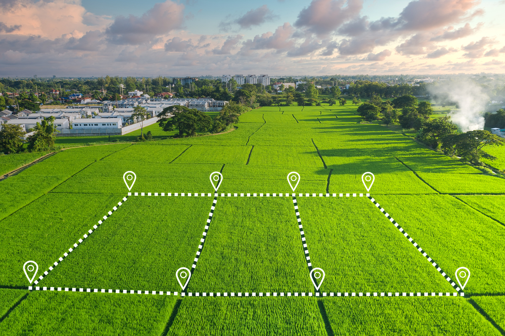
We make exact measurements and determine property boundaries. Provide data relevant to the shape, contour, gravitation, location, elevation, or dimension of land or land features on or near the earth's surface for engineering, map making, mining, land evaluation, construction, and other purposes.

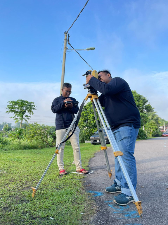
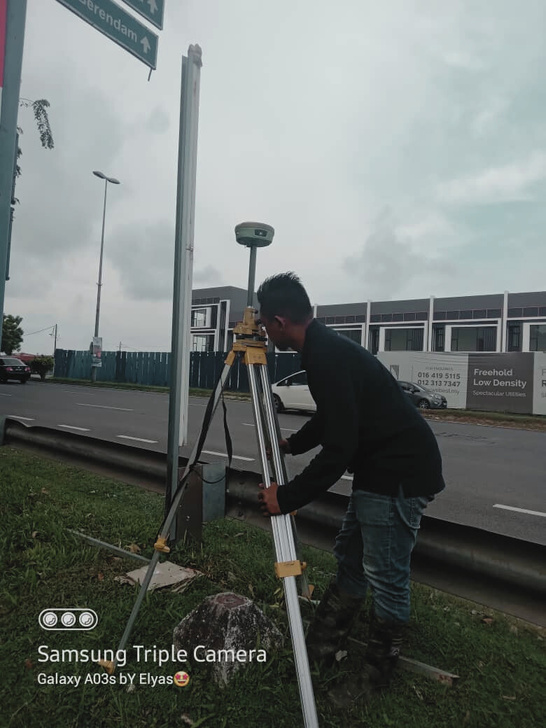
Our Services
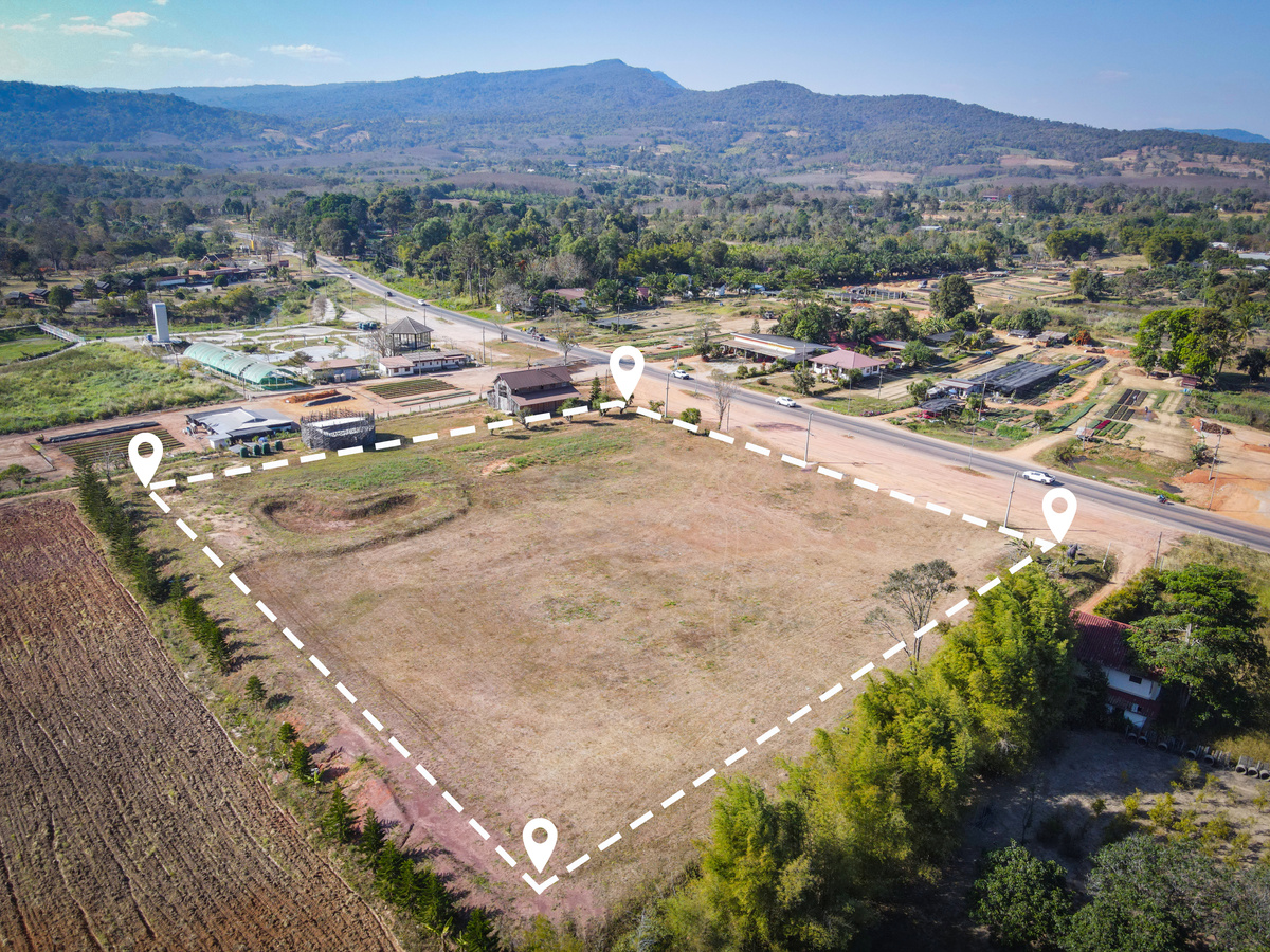
Cadastral Survey
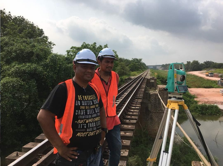
Engineering Survey
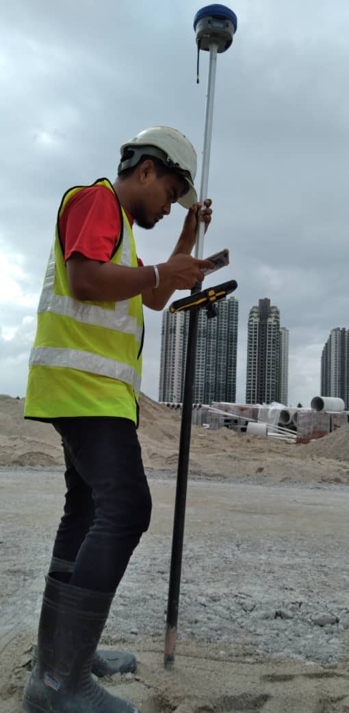
Topography Survey

Construction Survey
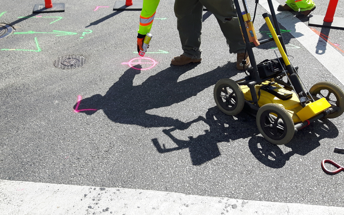
Underground Utility Detection Mapping
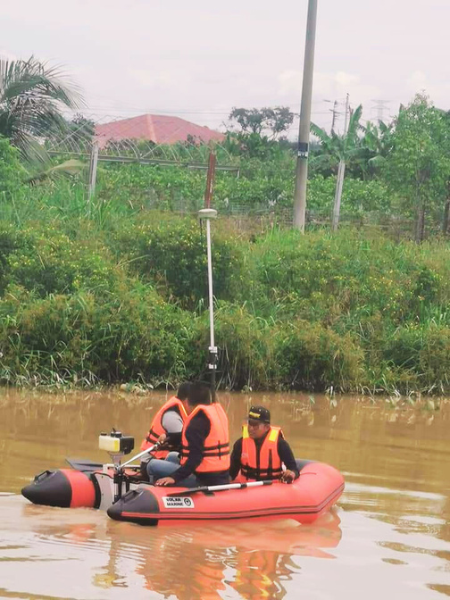
Hydrographic Survey

UAV Mapping
Land Admin &
Development Management

Coordinator And Drafter
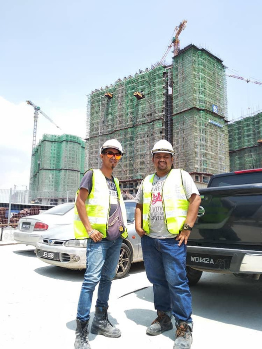
At Geosurvey Mapping Sdn Bhd, we have extensive experience of carrying out geomatic surveys, across a range of sectors and for all sizes of project. Harnessing the latest survey technology means we can deliver data quickly, in detail and in different formats.
With our ‘toolbox’ approach, we will advise on the most effective way to achieve your objectives, assessing all relevant factors before starting work.
Our team will then conduct the survey, capturing accurate and detailed data delivered in the optimum format for your project – and providing you with the highest quality output for which we have become known in the industry.
Our
Experience
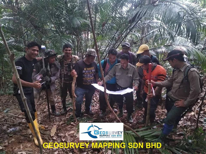
- Measuring, Marking, Supplying and planting a Stone Boundary at Rompin State Park Forest Reserve, Rompin District Along 18.0KM

- Project to build 700 units of multi-storey flats for the Transit Housing Program for Pengerang Civil Servants, Kota Tinggi Johor:
- Setting out/pegging work for Infrastructure & Building Structural Sewerage manhole, sewerage line, pipe line, osd etc
- Estimate verticality of building
- Title Survey _(Block Title & Public Utilities)_ Public Facilities Project & 2 Commercial Plots above PTD 78093 & PTD 78094 Mukim Kluang, Kluang, Johor.
- Final Title According to Plan No. __ Above around Lot 2451, 2452, Mukim Tanjong Dua belas, Kuala Langat District, Selangor
- Engineering Surveys for the National Flood Forecasting and Warning Program in the Melaka River Basin
- Spot Levels and Details Survey Above Ptd 112724 & Ptd 112725, Mukim Senai, Johor Bahru Region.
- Title Survey at 4591 & 4592, Segamat River, Segamat, Johor.
- 'Infra Work' Builds New Road From Pasir Gudang Expressway to Aliff Harmoni Utama Promenade and Upgrades Bukit Aliff Utama Road, Taman Damansara Aliff Mukim Tebrau, Johor Bahru

2023
- Geolocation of Buoys using GNSS and total station for River Efficiency Assessment for floating Marine Plastic Debris at Klang River using Hydrophone Array
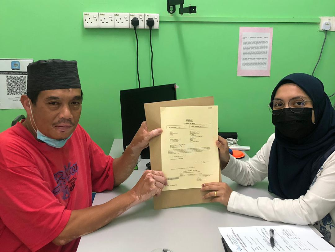
- Land Subdivision, Final Title, Pusaka, Hibah, Transfering Land and Power Of Attorney Management.

Our Experience
Year 2020
- Infra Work & Boundary Survey at P23 Forest City, Johor Bahru - SMC
- Detail Survey & Spot Level for the purpose of building a new road 820 meters long, near Kampung Guntur, Batu Kikir Negeri Sembilan. - Promap
- Setting-out alignment Road Drain sewerage water supply at PTD 5223 (Plot 18) and part of PTD 5088 (Plot 15), Mukim Tg Kupang, Johor Bahru Region, Johor Darul Ta'zim - MNZ
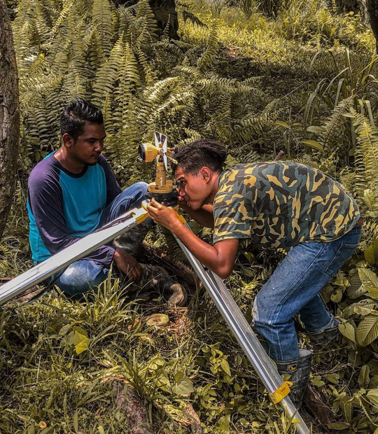
- Field Measurement Works for the 116.9 Hectares (288.87 Acres) Mining Lease Project, Batu Yon Subdistrict, Lipis District, Pahang Darul Makmur.
- Detail Survey & Spot Level for the purpose of building a new road 820 meters long, near Kampung Guntur, Batu Kikir Negeri Sembilan.
- Over 30 Surveying Job Included Spot Level Detail Survey, Dimarcation Survey etc
Year 2021
- Sport Level & Detail Survey_ TAPS Chin Chin Melaka, Mukim Chin Chin, Jasin Region, Melaka. - Promap
- Spot Level & Detail Survey_ Lot 8719 (PTD10944) & Lot 8722 (PTD 10947) Mk Merisng, Mersing _ J Makmur
- Spot Height & Detail Survey Drainage Along 10km in Part of Gemencheh Town - Promap
- Engineering Survey And Utility Mapping Above Lot 1973, Mukim Kota Tinggi, District Kota Tinggi And Above No. PTD 280, Mukim Ulu Sungai Sedili Besar, Kota Tinggi - Promap
- Engineering Survey and Preparation of Land Acquisition Plan for Detailed Design of Bagan Datoh Flood Mitigation Plan, Hilir Perak District, Perak._ 57.1KM - WIRA
- survey work at Bukit Tok Jenung mining lease, Batu Yon Subdistrict, Lipis District, Pahang Darul Makmur. - Integration
- Over 30 Surveying Job Included Spot Level Detail Survey, Dimarcation Survey etc
- Almost 10 Job Of Land Subdivision, Final Title, Pusaka, Hibah, Transfering Land and Power Of Attorney Management.
Year 2022
- As-Built Water Rack , Sewerage, Road And Drainage at CIBS Forest City, Johor Bahru, - SMC
- Engineering Surveys for the National Flood Forecasting and Warning Program in the Melaka River Basin.
- Title Survey For Block 17 (70 Shop) Mukim Kluang, Kluang Johor
- Detail Survey & Spot Height Station Obs 3 Tbm At Lot 8054, 8055, 8056, 8062, Mukim Tebrau, Johor Bahru, Johor.
- As- Built Plan for Infrastructure Road, Drainage, Water Rec and Sewerage Pipe (Partal) on Lot 8008 (Plot 23), Mukim Tanjung Kupang, Johor Bahru District, Johor Darul Takzim.
- Strip Survey for the Gemencheh Drainage Project
- Over 50 Surveying Job Included Spot Level Detail Survey, Dimarcation Survey etc
- Almost 10 Job Of Land Subdivision, Final Title, Pusaka, Hibah, Transfering Land and Power Of Attorney Management.

Specialized in all kind of land surveying work and we provide professional consultancy customized to industry’s needs.
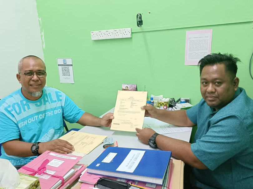
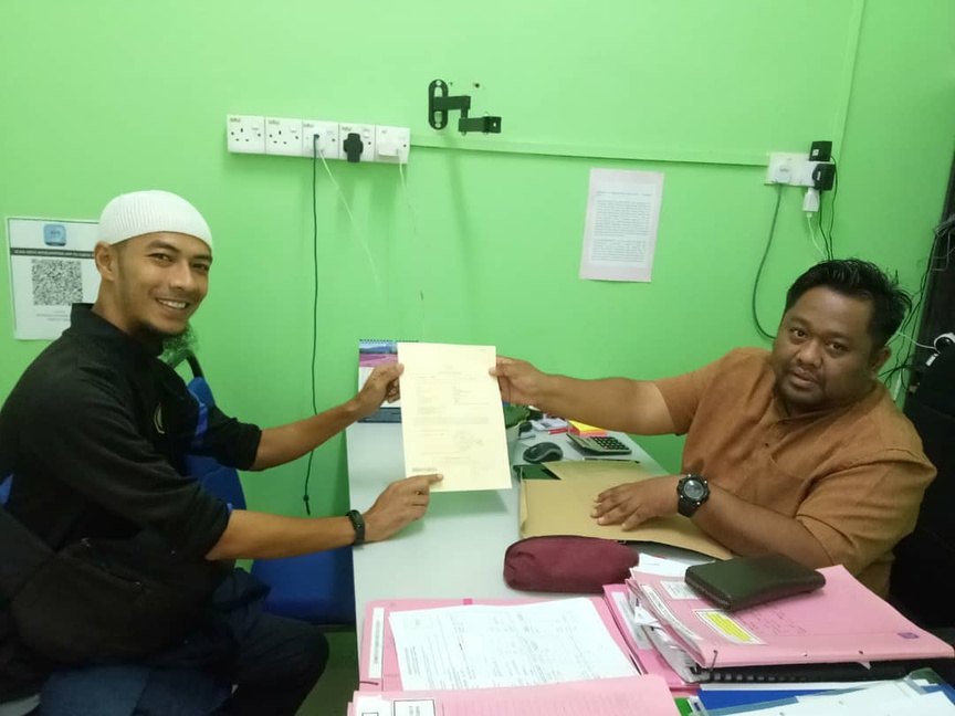
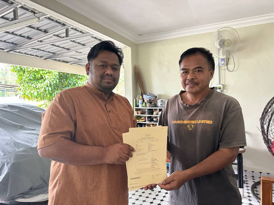
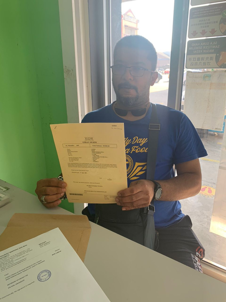
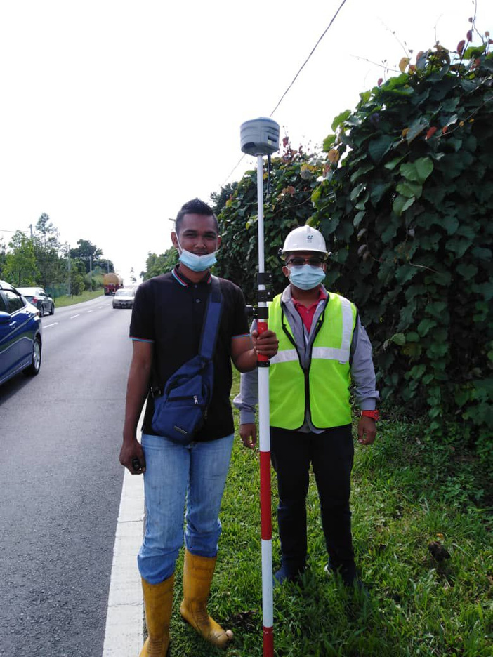
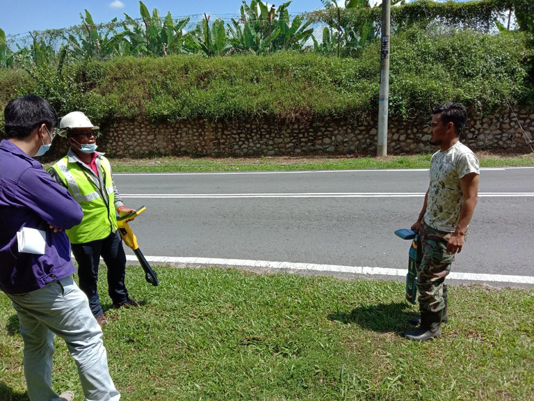
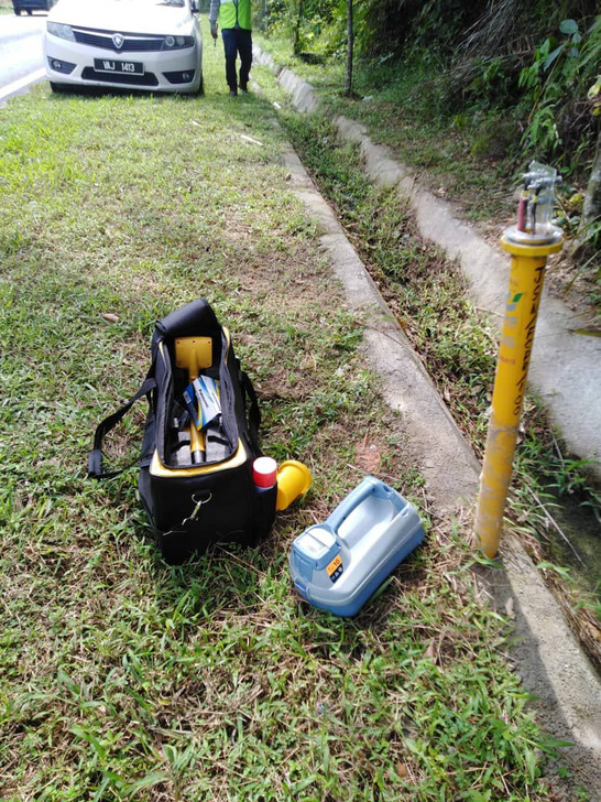
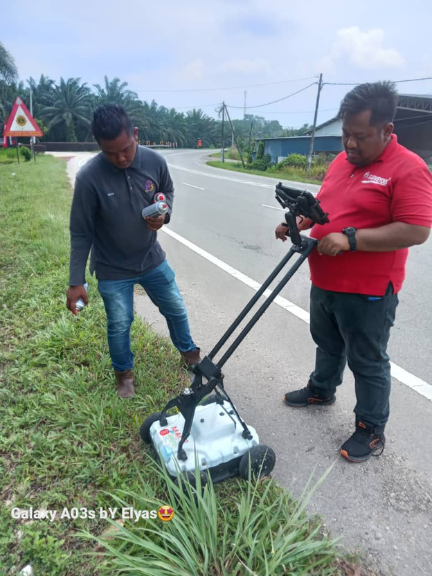
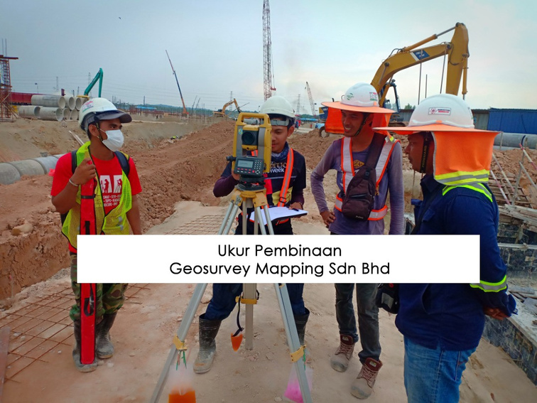
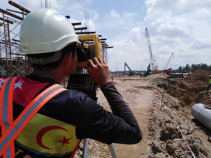
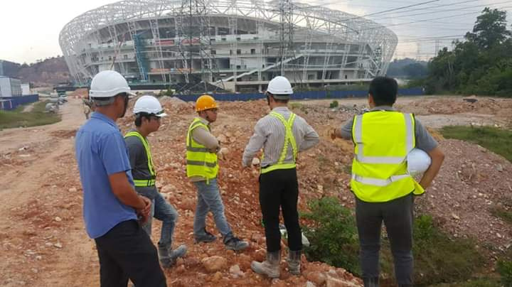
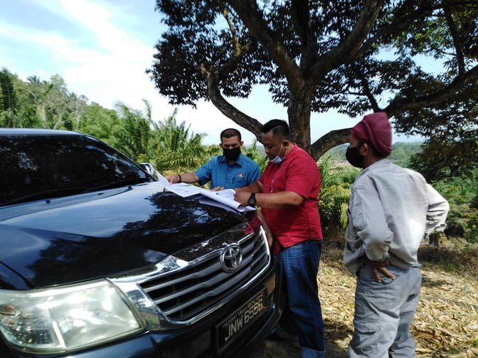
Gallery & Client Testimonials
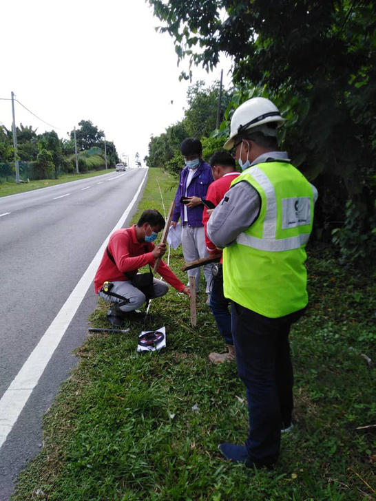
Construction Survey / Cadastral Survey / Topography Survey / UUDM etc
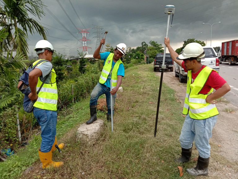
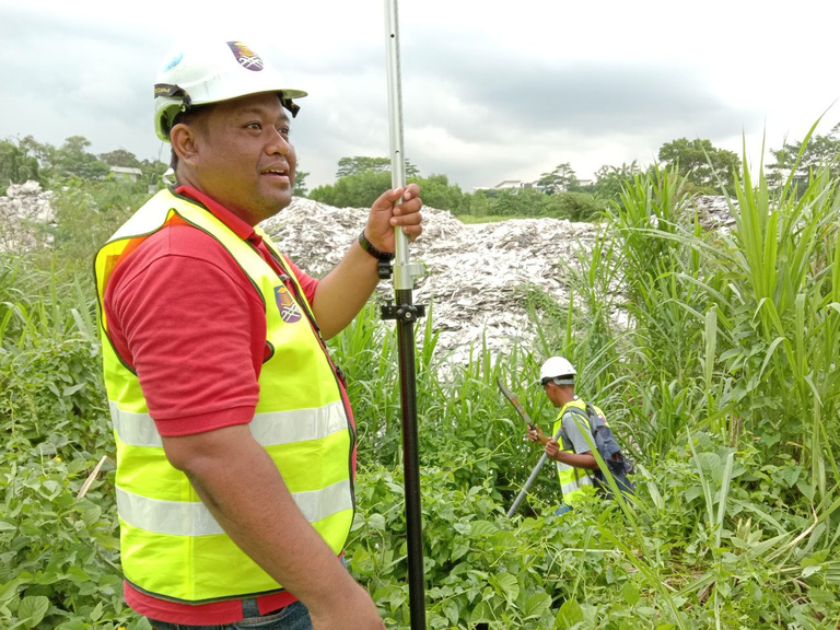

SPOT LEVEL & DETAIL SURVEY
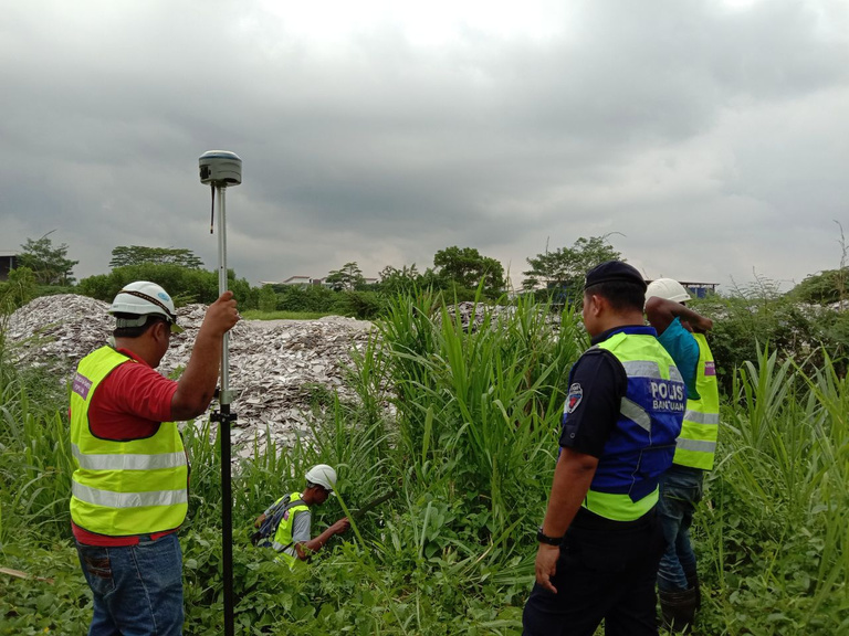
UKUR KEJURUTERAAN DAN PEMETAAN UTILITI
FINAL TITLE_
SG CHILING / BATU YON LIPIS/ KUALA LANGAT etc

ENGINEERING SURVEY_
FOREST CITY & STADIUM JDT etc
ENGINEERING SURVEY_
DOUBLE TRACK KTM SEGAMAT


